Maps of Canada, miscellaneous photos, and scanned interviews,
Maps of Canada
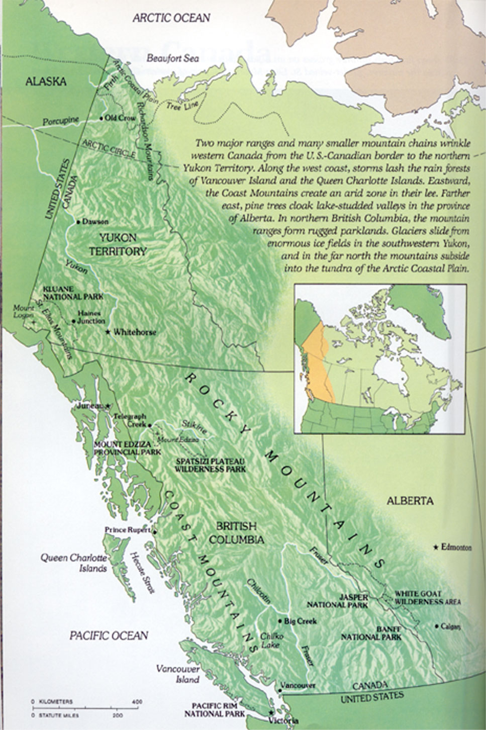
My grandparents collected lots of books and my parents are gifting me with the Canadian themed ones in their effort to minimise their lifestyle. I scanned some cool topographical maps in from a National Geographic book called, I think, Canadian Wildernesses for quick reference. If anyone needs the Photoshop files or a TIFF file, just let me know; I uploaded 72ppi and 150ppi .jpg versions of these maps.
 |
 |
 |
 |
|
The
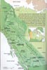
west coast and the Yukon. |
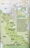
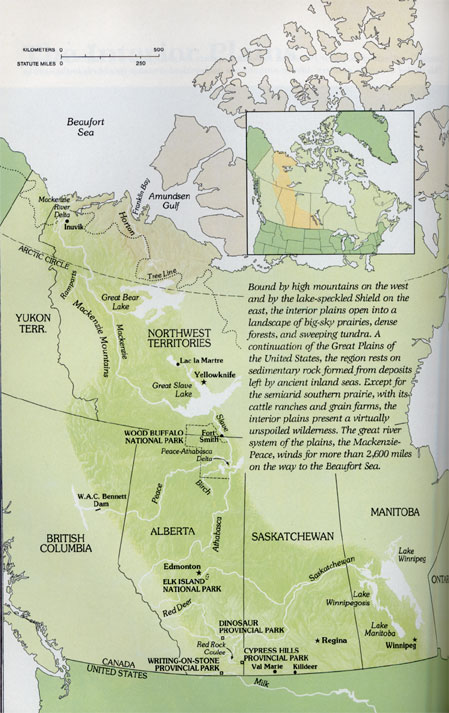
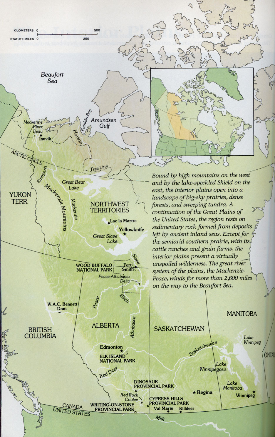
The Plains provinces and the Northwest Territories (this predates Nunavut). |
A cool map of the treeline. I was surprised to see how far north it extended in the west. You can also see the treeline marked on the other maps. |
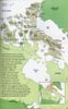
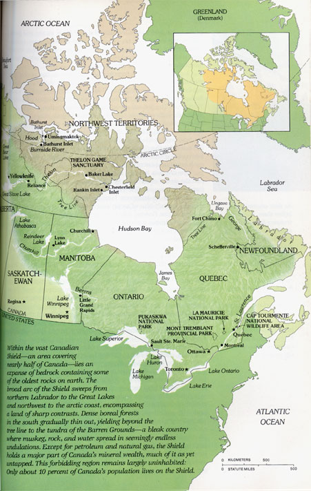
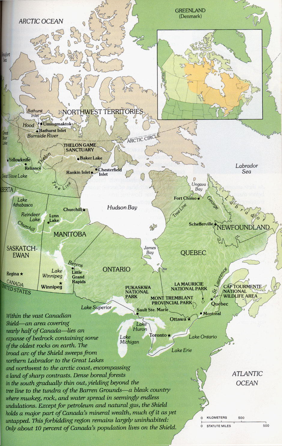
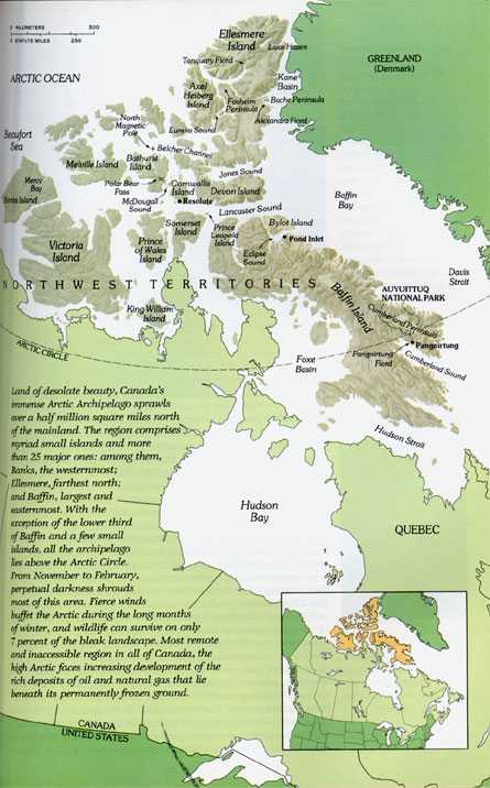
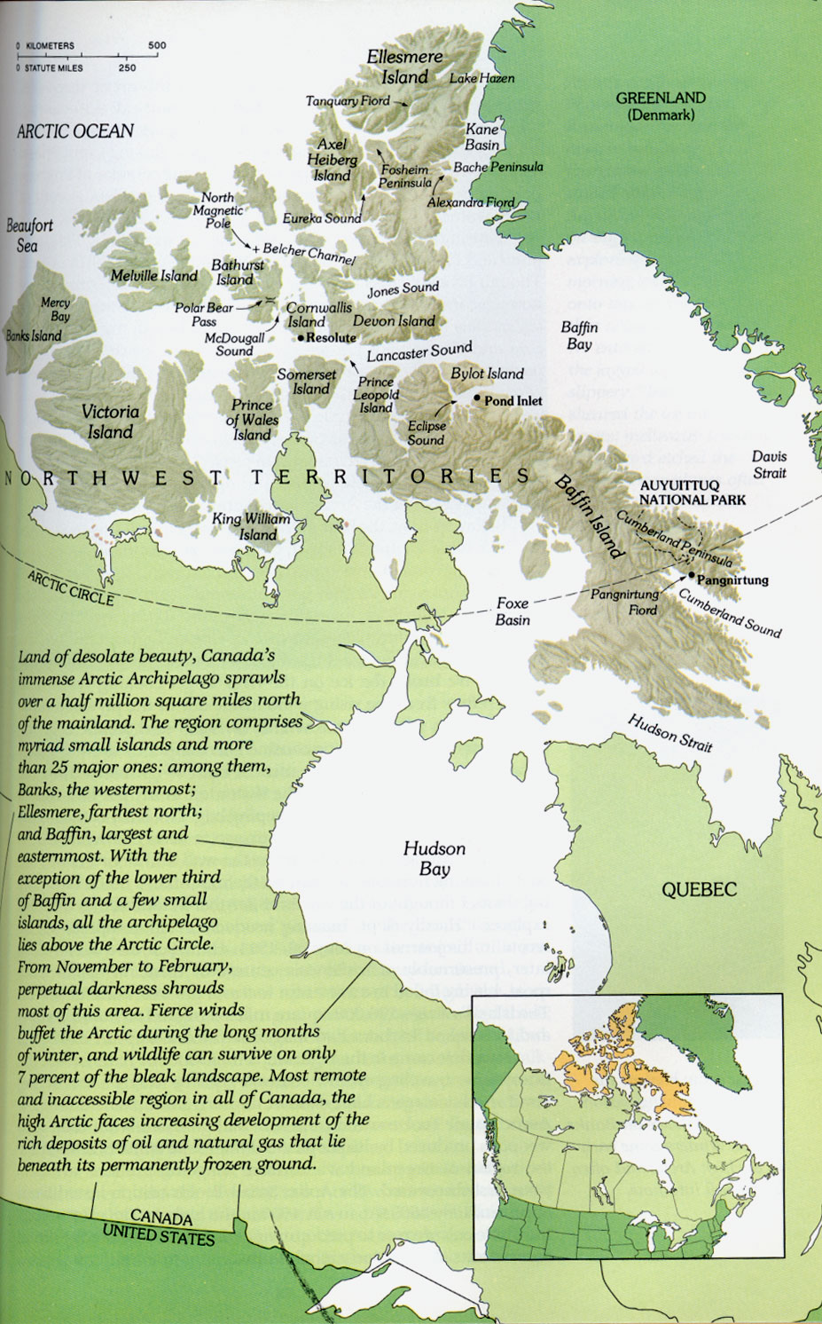
The High Arctic and Hudson Bay. |
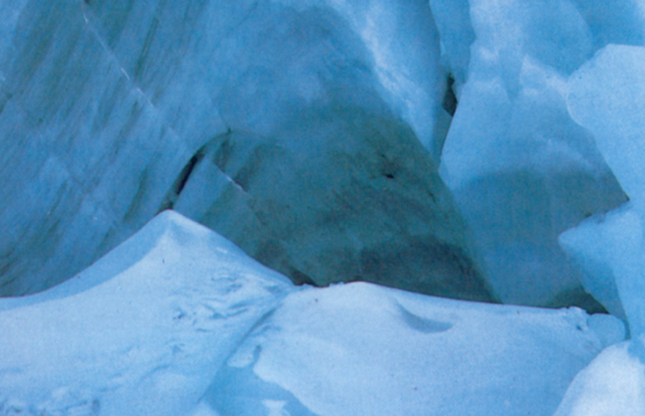
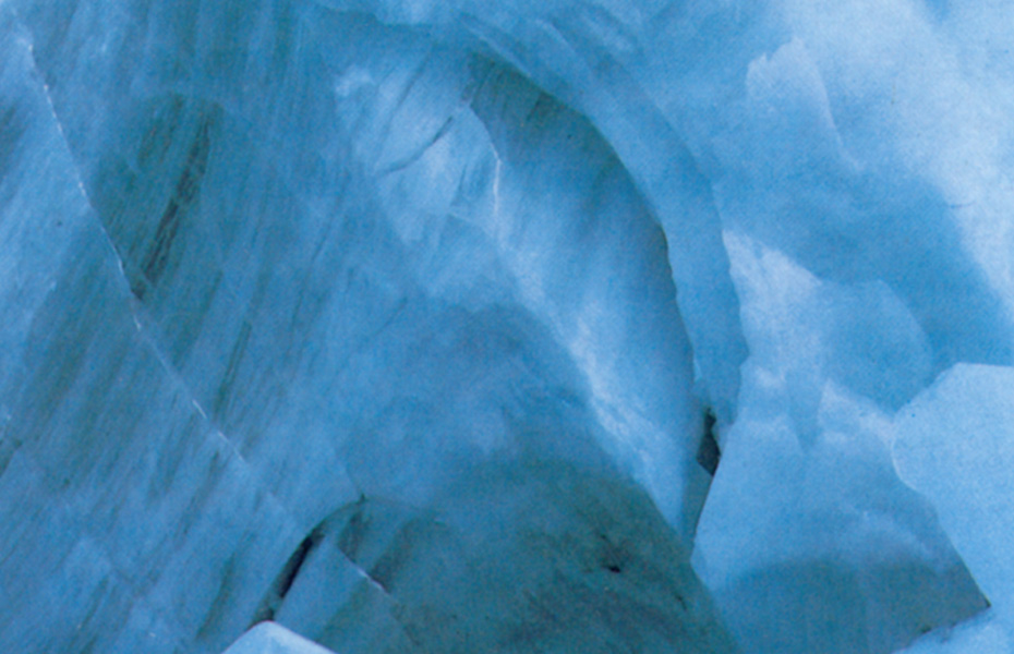
A
couple of 800x600 wallpapers I made from a picture (close up) of a glacier.
Will try to get thumbnails up ASAP.
Ice3
Ice4
Scans and PDF files of the TakeOne with Callum on the cover and a Bruce McD article about Picture Claire
 |
 |
 |
|
| .jpg of the cover (84k) | Cropped jpg of the photo inside (57k) | PDF file of the TakeOne interview with Callum (3.8 Mb) | PDF file of the TakeOne article about Picture Claire with Bruce McD (1.5 Mb) |
Back to Main Page
Problems?
Email mrks@mrks.org